
Welcome to Paria's “Hike of the Week” series. Each week we share one of the best hikes from around the country. For us, reading about a great trail inspires us to want to see it for ourselves. We hope this series does the same for you!
This week's highlight is on the Wild Azalea Trail in central Louisiana.
Featured Photo: Kitsatchie Hills (photo by Justin Meissen)
Why This Trail?
Located in Kitsatchie National Forest, the Wild Azalea Trail is the longest in the state. It is also a designated National Recreation Trail. Hikers can enjoy the diverse plants, trees, and different ecosystems. The change from wetland to hilly, rugged terrain will keep you on your toes!
- Distance: 24 miles
- Type: Point to point
- Difficulty: Easy to moderate
- Elevation gain: 1,700 feet
- Best time to visit: March and April for the wild azaleas in bloom. Winter is a good time to enjoy cooler temperatures. The trail is open year-round.
- The trail is well-marked, so even newer backpackers shouldn't have issues. A highway cuts through the middle and other roads are nearby too. So, if you run into trouble, help is never too far away.
- Dispersed camping is allowed.
- Plant lovers will enjoy the diversity.
- Pet-friendly
- One end of the trail begins at Valentine Lake. You can camp out here if you want to get an early start on the trail.
Before you pack your bags, keep the following in mind:
- There are creeks for filtering water. But, these may not be reliable when it's been dry.
- This trail is shared with mountain bikers.
How Do I Get There?
Alexandria International is the closest major airport to the trail. From here, head onto Frank Andrews Blvd. Turn right onto Chappie James Ave. Shortly after, make a right onto Vandenburg Dr at the traffic circle. After 2 miles, turn right onto LA-28 W. Drive a little under 10 miles before turning left onto LA-121 S. Then, make another left onto Valentine Lake Rd. Verge right to stay on it. Right before it turns into Burrough Cemetery Rd, make a right to head towards Valentine Lake Campground. Drive time is only about 25 minutes.
Map of Recommended Route
The following map outlines our recommended route. Click the "Load Interactive Map" button to load the correct map. Once loaded, you can navigate along the route and view recommended campsites.
For even more detailed mapping, including being able to print a copy for yourself, click the "Open in CalTopo" button at the top of the map once it's loaded into view.
Endpoints are located at the Valentine Lake Recreation Area and the town of Woodworth's Town Hall parking area.
- Day 1 - Valentine Lake Campground to Clear Creek (12.5 miles)
- Day 2 - Clear Creek to Woodworth Town Hall (12 miles)
Trail Description
Day 1 - Valentine Lake Campground to Clear Creek
Start in brushy undergrowth with towering loblolly pines soaring overhead. It's worth noting that the trail can be rather boggy after rain. Not far in, you'll come across the old fire tower. Plenty of beautiful, pink azaleas await in the spring. You'll also come across numerous creeks. Fortunately, the larger ones have bridges.
Lush ferns cover the forest floor. Winter offers better views of the gently rolling landscape. Several miles in, a somewhat open area may offer some more wildflowers. You'll head through the Wild Azalea Seep just before reaching Evangeline Camp. This area boasts unique plants. These include orchids and bog moss that can only be found elsewhere east of the Mississippi. Past the camp is a short road walk. After a few more miles you'll reach your campsite at Clear Creek.
Day 2 - Clear Creek to Woodworth Town Hall
Not long into your second day, you'll pass through the Castor Creek Scenic Area. This area features magnolia, beech, gum trees, and more. Although most of the creeks have bridges, you'll come across some that do not. So, be prepared. You can also expect some steeper climbs. But, nothing too crazy. The most difficult part of the trail is closer to town.
More boggy areas with planks await. While the towering pines are pretty, the forest turns mixed once again. The cypress trees in the swampy areas are always neat too. You'll come across some open areas as you near Woodworth. Before you know it, you've reached civilization again!
What Will I Need?
Average highs in the area for March and April range between 60 and 80°F. Average lows are between 45 and 60°F. That said, a down quilt will keep you warm at night. Or, since dispersed camping is allowed, you could bring the hammock and tarp. If you prefer staying on the ground, a 3-season backpacking tent will be fine. Don't forget your sleeping pad for optimal comfort!
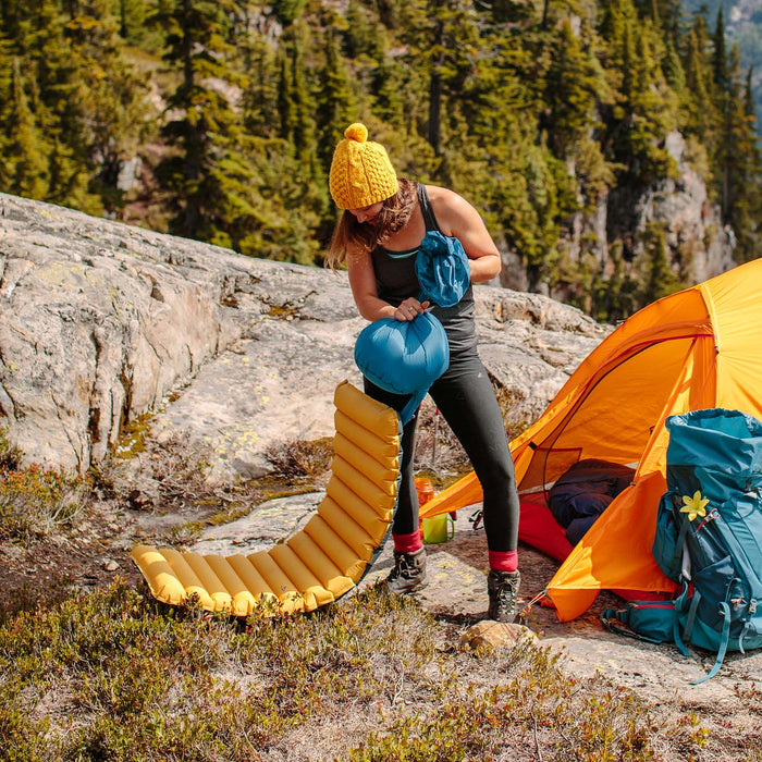
A lightweight, insulated sleeping pad can make for a comfortable night on the trail. A pump sack can come in handy as well after a long day of hiking.
There are plenty of water sources to filter from. (As long as there hasn't been a dry spell recently.) If you're the “set it and forget it” type, a gravity filter is nice. Speaking of clean water, don't forget your cooking gear, like your pot, stove, and spork.
If there's anything else you need to complete your pack, visit our full line of high-quality, affordable backpacking gear.
Shop Backpacking Tents
Shop Ultralight Tarps
Shop Backpacking Quilts
Shop Down Sleeping Bags
Shop Insulated Sleeping Pads
Shop Backpacking Pillow
Shop Folding Trekking Poles
Shop Titanium Cookware
Shop Tent and Tarp Accessories
Finally, to make sure you don't forget something at home, use our Ultimate Backpacker's Packing List. It even includes a convenient printable checklist!
Do I Need a Permit?
You do not need a permit.
Resources
Kitsatchie National Forest Fire Info Page
Conclusion
Have you ever hiked the Wild Azalea Trail? We'd love to hear about your experience in the comments below! Or, let us know about other great trails in the area!
Read Next
If you're looking for more hike ideas, read our “Best Backpacking Trips in the Southeastern U.S.” round-up post. Also, the following Hike of the Week articles cover other great trails in the region.
Hike of the Week: Lake Ouachita Vista Trail
Hike of the Week: Ozark Highlands Trail
Hike of the Week: Outer Mountain Loop
For even more amazing backpacking trips, visit The Trailhead, our interactive hike map. It contains a curated list of dozens of hikes, each with a detailed write-up like this one.

Finally, check out our comprehensive list of backpacking articles that cover just about everything there is to know about backpacking. If you're just starting out, our Backpacking 101 section covers all the basics. If you already have a few trips under your belt, you can find more advanced topics covered in our Expert Articles.


Leave a comment